Highlights of CWA2014 Day 5 (10 October 2014)
News details
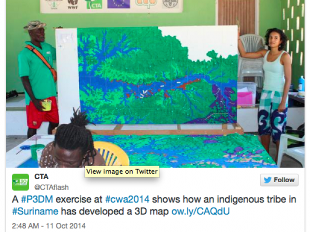
During the last day of the Caribbean Week of Agriculture 2014, as part of the Seminar « Maps as media in policy processes: Bringing the 3rd dimension at the negotiating table », a CTA-funded 3D map helping tribes document and articulate their traditional knowledge, was presented. Participatory mapping is a powerful tool for enabling local communities to document their landscapes and shape policies that affect their development. The exercise showed how an indigenous tribe in Suriname has developed a 3D map of its territory.
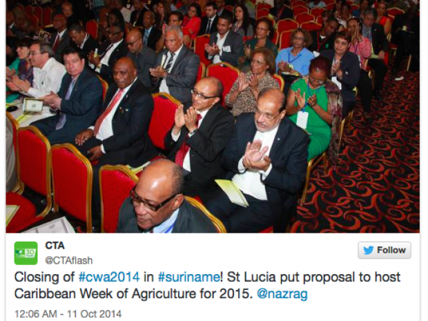
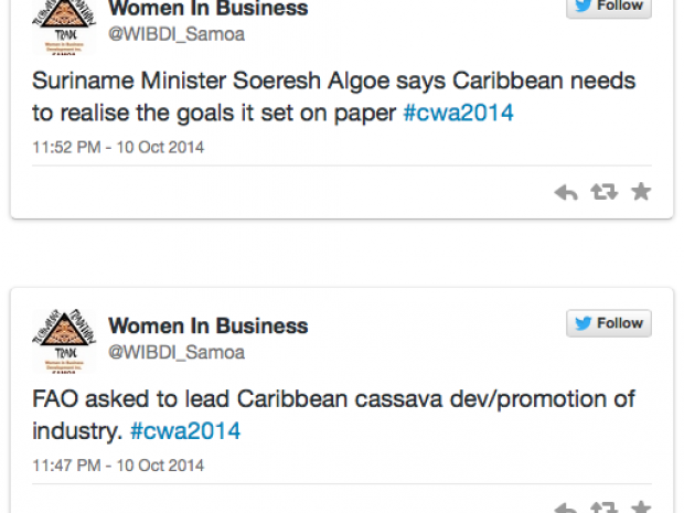
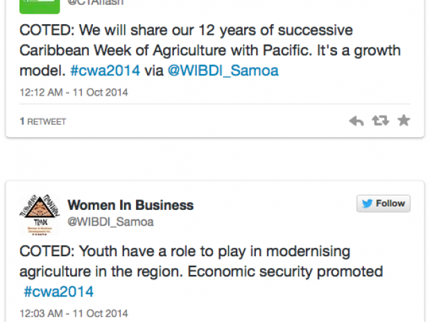
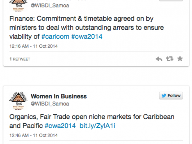
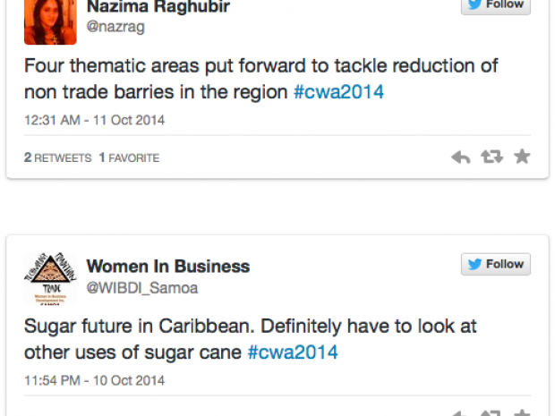
The closing of Caribbean Week of Agriculture 2014 and COTED meeting




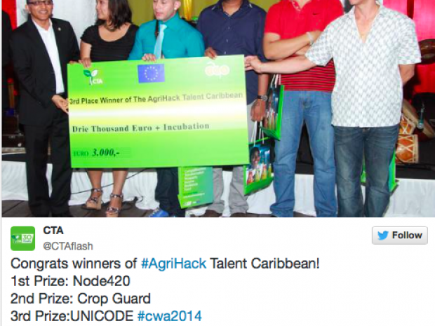
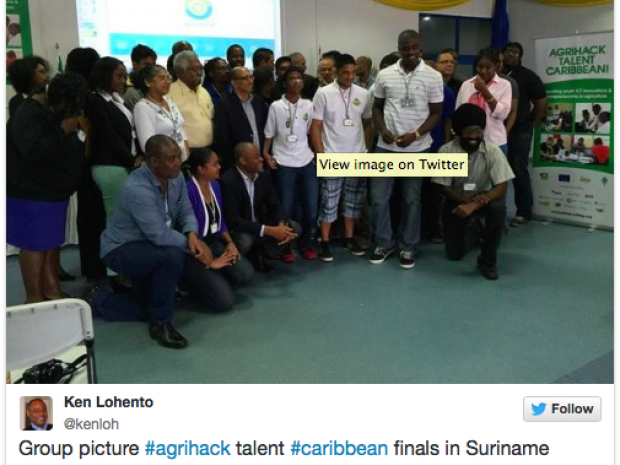
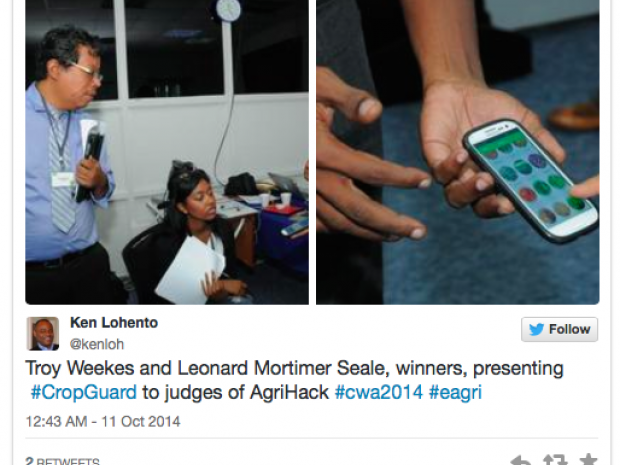
Young Jamaican team wins AgriHack Talent Caribbean contest




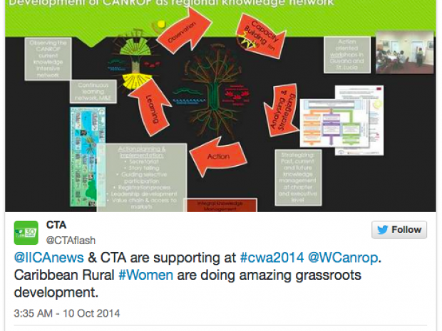
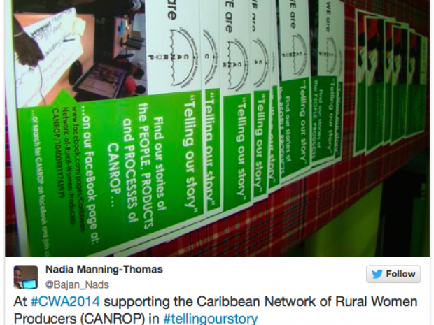
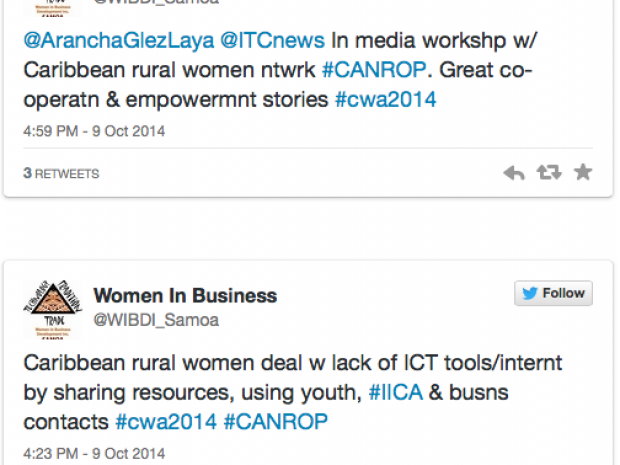
CANROP at CWA2014: A week to communicate, learn and promote


More information

Source: http://bit.ly/13kmrG2
Log in with your EU Login account to post or comment on the platform.