It's the data, stupid!
News details
Data is the driver of reform for the SLAM project. The emphasis is on landholding data collection, and its delivery back to the chiefdom for the community to administer and manageing their land. The project emphasises sustainability and so 'open source' data solutions were an obvious choice.
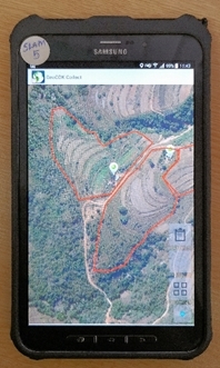
There's lots of choice in data collection tools, and after field testing a shortlist of two, GeoODK ticked all the boxes. It has proved to be the right choice; easy to configure, easy to use, and robust. A PostgreSQL/PostGIS database was the next and obvious choice for uploading and handling the field data. Editing and managing land data requires geographic information system software, and with no caveats limiting the choice, QGIS completed the set of tools in the box.
For a presentation and more information about how SLAM uses GeoODK, PostGIS and QGIS, click here.
Log in with your EU Login account to post or comment on the platform.