2. Improving evaluation through geospatial data and analysis
Date:
Tuesday 12th March, 12:30 to 14:00
Speakers:
Ms Geeta Batra - Global Environment Facility, Independent Evaluation Office, Chief Evaluation Officer

Before joining the Global Environment Facility as Chief Evaluation Officer and IEO Deputy Director, Ms Batra has been working in the Independent Evaluation Group (IEG) of the World Bank Group since 2010, most recently as Manager in the Country, Corporate and Global Evaluation unit and, before that, as Chief Evaluation Officer in the Strategy unit. Prior to joining IEG, she spent several years with the International Finance Corporation (IFC), notably as the Global Head of Results Management for IFC’s Advisory Services. In all, she has been with the World Bank Group for about 17 years. Ms Batra holds a PhD in economics and has a strong background in international economics, econometrics, and development. Apart from her excellent evaluation and research skills, she has gained extensive operational experience both in the Bank and in the private sector.
Mr Malte Lech, independent Evaluator

During his permanence at DEval (2016 to 2018), Mr Lech worked on a mixed-method impact evaluation centered around a land-use planning and disaster risk management intervention in the Philippines and was engaged in the application and development of geospatial and remote-sensing methodology in evaluations. Presently a freelance consultant and evaluator, before joining DEval he worked as research associate for the Institute of Economic and Cultural Geography at the Leibniz University. He holds a major in economic geography and a PhD at the Leibniz University.
Ms Catharina Bamps and Mr Ola Nordbeck, Policy Officers European Commission, DG for Internal Market, Industry, Entrepreneurship and SMEs - COPERNICUS Unit
Ms Bamps is the policy officer of the Copernicus Land Monitoring Service and in situ Component and the contact person within the Copernicus unit for the ´Copernicus´ support to the monitoring of the Sustainable Development Goals´. She holds a M.Sc. in Economics from the Catholic University of Leuven and has ample experience in working with geospatial data to support EU policies (ex-ante analysis, monitoring implementation, ex-post verification).
Mr Nordbeck works with the Emergency Management Service, the Arctic and access to satellite data. Prior to this, he worked for the United Nations as well as in the private and public sector in Scandinavia. In the UN he worked among all with satellite imagery and other geospatial data for monitoring the reconstruction work in post-conflict areas.
Description:
The increase in availability of new types of data strengthens geospatial research in different scientific fields and opens up new opportunities to better measure results and evaluate the impacts of development interventions. A recent paper (published in the International Journal of Geospatial and Environmental Research in October 2018) presents examples where geospatial approaches have been applied in evaluations and thus demonstrate the potential use in informing policy design through scientifically sound evidence as well as learning.
In particular, the paper discusses the impact evaluation of the Global Environment Facility (GEF) support to protected areas and protected area systems; and the evaluation of GIZ’s land-use planning and disaster risk management programme in the Philippines.
The first two speakers -who co-authored the paper- present the methods used in these two evaluations and the main lessons learnt; they furthermore discuss the possible use of geospatial evidence in evaluating interventions in other contexts.
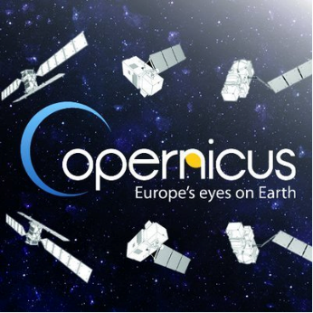
The third speaker presents the full, free and open data policy that Copernicus has adopted for its satellite data and service products.
Copernicus is the European program for monitoring the Earth and is coordinated and managed by the European Commission. Today, it is the most ambitious Earth Observation programme in the world.
The development of the observation satellite infrastructure is performed under the aegis of the European Space Agency. It consists of a constellation of satellites carrying a range of technologies dedicated to land, ocean and atmospheric monitoring. Around 20 satellites will be launched during the first phase of the program, 7 satellites are already in orbit and fully operational.
Copernicus processes also these data and provides users with reliable and up-to-date information through a set of core and on-demand services related to environmental and security issues.
Introduction: Mr Pavel Borkovec – DEVCO, Head of Unit ‘Evaluation and Results’
The video recording of the conference is available below:
Related documents
Conference 2 - Copernicus: full, free and open EO data and information
English (17.47 MB - PPTX)